
Butler & Hill SKU: LA
Customised 255-Piece Map Jigsaw Puzzle
Couldn't load pickup availability
Available for 3 working day dispatch
Description
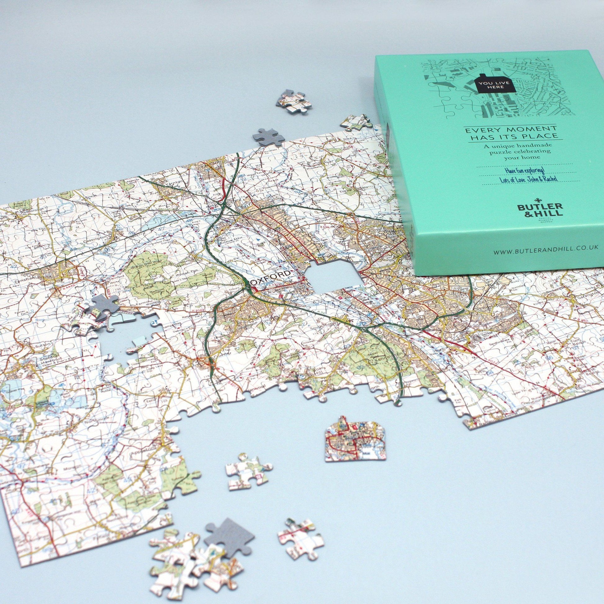
Home is where the heart is, so why not put a place you love at the heart of a jigsaw map?
Your map jigsaw will be completely unique with a distinctive house-shaped centre piece based on the special address in your life.
Simply give us the address and postcode of the property you'd like at the centre of your postcode jigsaw puzzle, and choose whether you'd like a 255 or 400 piece jigsaw. The result? An engrossing puzzle that will test your local knowledge to the full! And if you're buying for a friend, you can handwrite your own personal message in a space on the box lid.
Choose from one of five intriguing map styles ‚‚ The Ordnance Survey Mapping and Streetview Map bases are available for all of mainland Great Britain. The Victorian and Aerial bases are only available for England and Wales. The London Street map base is only available for Greater London inside the M25.
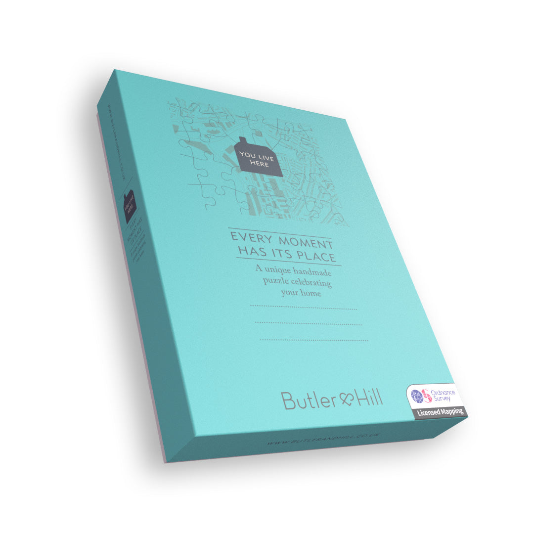
Your jigsaw will arrive in an attractive presentation box which, for that added personal touch, contains an area on the box lid allowing you to write your own message to the recipient. Made using 1.5mm millboard, these superb jigsaws are hand-finished by our expert craftsmen.
- The completed 255-piece puzzle measures 27 x 37cm.
- Includes a free guide print of your map.
Ordnance Survey®Mapping (1:50,000) - Shows 11 miles east to west and 8 miles north to south.‚ Covers all of mainland Great Britain.
Aerial Photography (1:3,650) - Shows 0.8 miles east to west and 0.6 miles north to south. Covers England & Wales only.
Ordnance Survey Streetview mapping (1:12,000) - Covers an area 2 miles north to south and 2.6 miles east to west.‚ Covers all of mainland Great Britain.
Bartholomew street level London mapping (1:12,000) - Shows 2 miles north to south and 2.6 miles east to west.‚ Covers all postcodes within the M25.
Victorian Ordnance Survey mapping (1:10,000) - Covers an area of 1.7 miles north to south and 2.2 miles east to west.‚ Covers England and Wales only. Dates are from the‚ Victorian era period.
View the whole‚ All Jigsaw Puzzles‚ Personalised Map Jigsaw range by clicking‚ here.
Jigsaw Puzzle Size Chart
Jigsaw Puzzle Size Chart
| Pieces | Dimensions (cm) | Dimensions (in) |
|---|---|---|
| 255 pieces / Ordnance Survey Mapping 1:50,000 | ||
| 255 pieces / GB Streetview | ||
| 255 pieces / Victorian (England and Wales only) | ||
| 255 pieces / London Street Map (postcodes within the M25) |
Shipping
Shipping
ship
Returns
Returns
ret